Snow Hike
Today being day six of my trip means that it’s also the halfway point. In five days I’ll be back in Rogers, Arkansas. I admit that thoughts of home have become more frequent. I miss my wife and the dogs, as well as the comfort of home.
Today’s plan is another short ride coupled with a long hike. Of the two big hikes I planned, today’s hike is the wildcard. I picked it because it had good reviews and was marked as having “hard” difficulty, the highest rating. It is also over 9 miles and described as having terrific views. Curiously, there was no recent reviews of the hike (the most recent was from ten months ago), so it seemed likely that it would be very quiet.
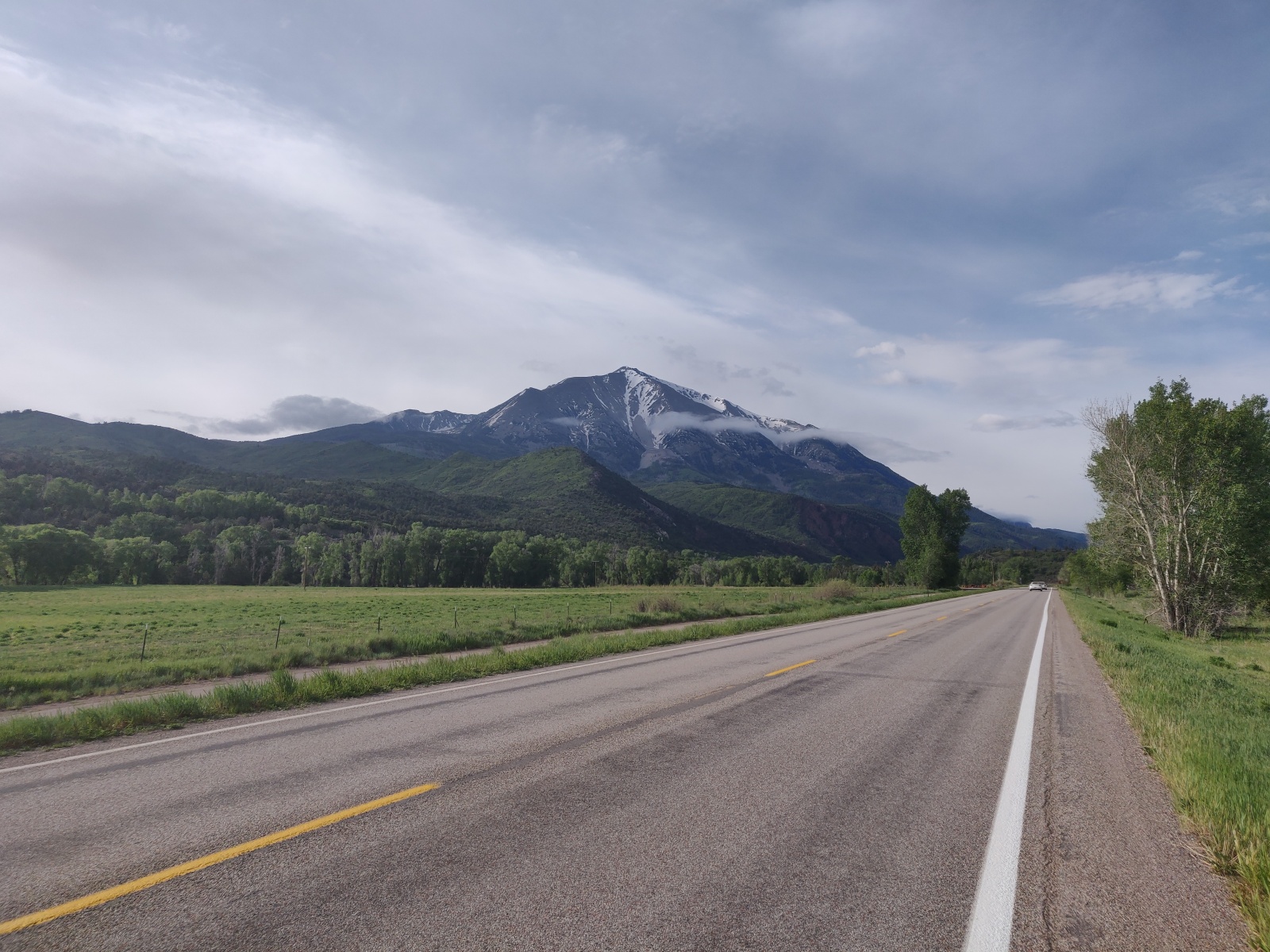
First I needed to get to the hike, however. I headed south out of Glenwood Springs, and since I was leaving at my customary early hour, I opted to stop in Carbondale, a short ride down the road, to have a very big breakfast at a highly rated restaurant. Of all the towns I’ve been through I think Carbondale is my favourite. It’s not so big to be a big tourist destination, like Glenwood Springs or Steamboat Springs, but it’s big enough to have a really nice and walkable downtown area. The setting of the town is beautiful with the snow capped Mount Sopris just to the south. People in the town also seemed quite friendly, but then again it was 7:15 in the morning, so who isn’t in a good mood then.
Back on my bike after breakfast I headed south on Colorado 133, one of the more highly rated roads for motorcyclists. My morning destination was the village of Marble, a short detour off the main road. My hike today was to go up Marble Point, to an elevation of 11,000 feet, a gain of 3700 feet.
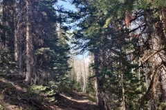
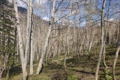
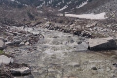
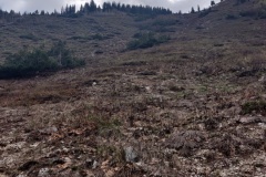
I started the hike up a mile of steep climbing through shrubs and young trees. At a fork in the trail where the loop began, I headed to the west per the recommended circuit and made my way through a beautiful birch forest as well as over several small snow melt streams coming down the side of the mountain. About 3 miles in to the hike I found the first point of interest, Raspberry Creek, which is also fed from the melting snow mass on the peaks (I suppose all streams are, in Colorado, come to think of it).
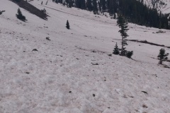
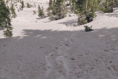
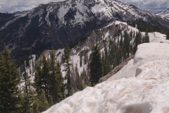
This is when things started to get interesting. Per the route description there would be times when the path would disappear (and the trail is not blazed), but if one continues to wander in the same direction then the path would become clear again. What I didn’t account for was the snow. As I made my way further uphill along a ridge, the snow started covering more and more of the ground. Eventually it was all snow. The only way I could navigate was by consulting my GPS location on my offline mapping app, and comparing it to the trail location.
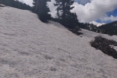
As my elevation increased, the steepness of the slope also increased. Fortunately I had my hiking poles as I would not have been able to make it without them. At times, my foot would drop through 3 feet of snow. At one brief instance, I had to get on all fours in order to distribute my weight. At a couple of short stretches, the slope increased such that I was having to move sideways by kicking my boot into the snow in order to maintain a toehold.
At this point, progress forward is grueling and slow. Each time, I was taking 5-6 steps before having to take a break and catch my breath. Very gradually I made my way toward the peak and I was fortunate to spot the footprints of another hiker that had probably been there a week or so earlier. Unfortunately, it’s clear his footprints were going downhill meaning the gait was much too big for me to fully take advantage of, however it did provide me with a direction so that I didn’t have to keep confirming my location on the map.
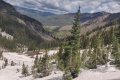
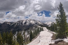
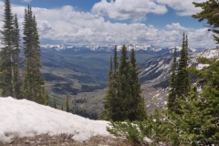
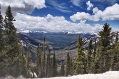
After a few more nerve wracking steep slopes, I finally reached the peak and it was an amazing view. In every direction were snow capped mountains and no sign whatsoever of civilization. I had a feeling of being totally remote.
The route description indicated that I should make my way north off of the peak and eventually I should find the trail. That sounds all fine and dandy, except that the slope on the north side was even more steep. Some faint pairs of parallel lines through the snow indicated that not too long ago people had climbed up in order to ski down. I used my toe-kick method to make my way across a huge snow wall, resting briefly at a copse of trees which provided a modicum of safety. I had to do this twice more before finally arriving on the trail again.
As I made my descent, on several occasions I encountered a “snow flow” where the snow from the peak is slowly flowing down and melting into a steam. Crossing these are dangerous as the snow is hard packed, meaning it’s difficult to sink a boot in to have a steady hold, but it’s also melting and slippery on the surface. If I was to slip then I could slide several dozen feet downhill before regaining my composure. Very carefully I made my way across these, but on the 3rd or 4th I got fed up and consulted the map. From the looks of it, if I headed directly downhill (instead of parallel to the mountainside with occasional switchback) then I could rejoin the trail further down. Normally, directly downhill is more difficult because of the steepness of the descent, but the alternative of crossing another large snow flow seemed much worse. By keeping to the trees, I managed the risk and was able to make a quick descent to a lower part of the trail.
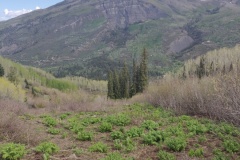
Finally, the snow on either side of me started to thin and a meadow appeared. The map showed that all I had to do was walk straight for a couple of miles and I would be back at the trailhead. I was very relieved.
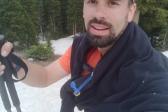
Once I did arrive back at the trailhead I was completely beat. This was arguably the most difficult hike I have ever done, and I felt it. I tried to rehydrate and eat some food after which I debated the merits of throwing up and for a brief moment I thought “This is it. I’m done. I’m going to have to cut my trip short and head home after this!” Fortunately the moment passed (both the nausea and the melodrama). After a 30 minute rest, I got back on my bike and continued on my route without stopping again, directly to my hotel to draw a bath and recover.
Retrospective
In truth, today I took too many risks. The fact that there were no recent reviews on the trail should have told me that it was too soon to hike it (at least without snowshoes, anyway). Though I was extremely slow and careful during the difficult parts, making sure I always had multiple points of solid contact before moving the next foot, as I continued to exert myself the risk of a mistake would increase. Had I slipped, I could have been seriously injured. Doing that climb safely at this time of year should have demanded more appropriate equipment.
I’m confident that I learned from the experience and won’t be so naive in the future. If the ground is covered with snow, then it’s time to turn back.
